Following on from last week’s tip on Ordnance Survey mapping, it’s worth exploring a couple of other related topics. Reader Steven Grier recommends Walkhighlands: Scotland walks for invigorating walks north of the border (and not just the Highlands … it also covers Stevie’s native Burns country, so you could find some routes to get outdoors while practicing the forthcoming address).
Another regular, Mike Garrish, suggested looking at SysMaps, which aggregates a variety of different mapping services including Bing Maps. The UI takes a bit of getting used to but it does an effective job and makes up for Bing’s inexplicable removal of being able to export routes to .GPX files, by supporting that feature too.
Bing Maps can trace its lineage back nearly twenty years. Launched back in the days when Microsoft felt it needed to do everything its competitors were doing, even if not quite as well, the service was originally called Microsoft Virtual Earth (or Virtual North America, as one former colleague called it, given that everywhere outside of NA was still TBC; a bit like any sports tournament that has “World Series” in front of it). The Virtual Earth platform was aimed at developers looking to harness mapping in their sites and, later, apps. It offered up sometimes very good quality licensed mapping data and images for free, as part of the “Live” branding and then eventually morphed into being part of Bing. The Bing Maps Enterprise and Azure Maps services now form part of Microsoft’s “Map Platform”.
Start me up
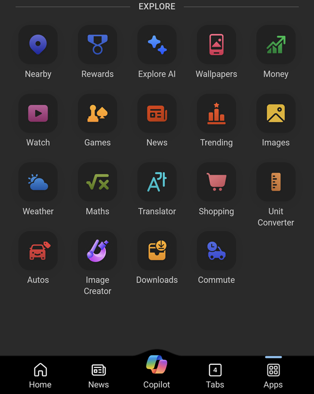
The consumer-facing mapping service clings on despite having no discrete mobile client (in a browser, just go bingmaps.com to jump to it, or the alternative googlemaps.com, should you prefer being asked every five minutes if you’re rather use Chrome). There are mapping components in the expanding Microsoft Start mobile app, which is subsuming various formerly-separate apps like News and Money into a single application. Many of these things were at one point “MSN something”, might later have been lumped under Bing, but are now presented within Start like widgets, unsurprisingly slinging some ubiquitous Copilot in as well.
There’s a Copilot key coming to your next PC, the first major change since the Windows Key arrived with Windows 95, designed to make it easy to bring up the new Start menu. Remember that ‘Stones song? Here’s what it could have been like…

“News” gives you much the same feed as the default New Tab Page on the Edge browser (ie. news from customizable sources, peppered with ridiculous clickbait and stupid adverts… albeit seemingly less so in this instance). From a mapping perspective, there’s a “Nearby” tile which tells you what attractions are close to you, and a “Commute” function which will warn you on the phone when there is trouble on the road ahead.

The PC app, Maps, is having its wings clipped somewhat, no longer able to work using offline copies of maps. Place your bets on how much life there is in the Maps app, given that it’s likely no longer going to be installed by default.
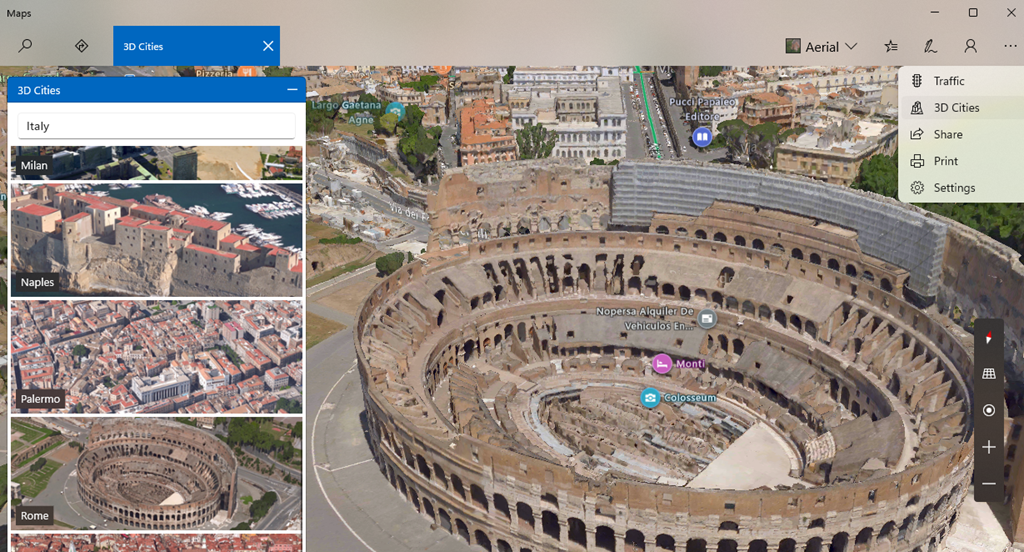
While it is still available, there are some pretty neat things in that app, like adding Ink annotations to maps which are saved on your PC (though not synced across machines) and using a pen to measure distance on-screen. Notably cool and unique to the Maps app (as compared to Bing Maps in a browser) is the 3D Cities feature. This lists quite a number of major and minor cities in the US, though its international coverage is a bit patchy – the only UK city on offer is Southampton, and while Australia has a few, you’ll not be looking out over the Harbour Bridge.
Back to the Streets
The Maps app offers no Ordnance Survey support for UK users but otherwise it basically does what Bing does in your browser.

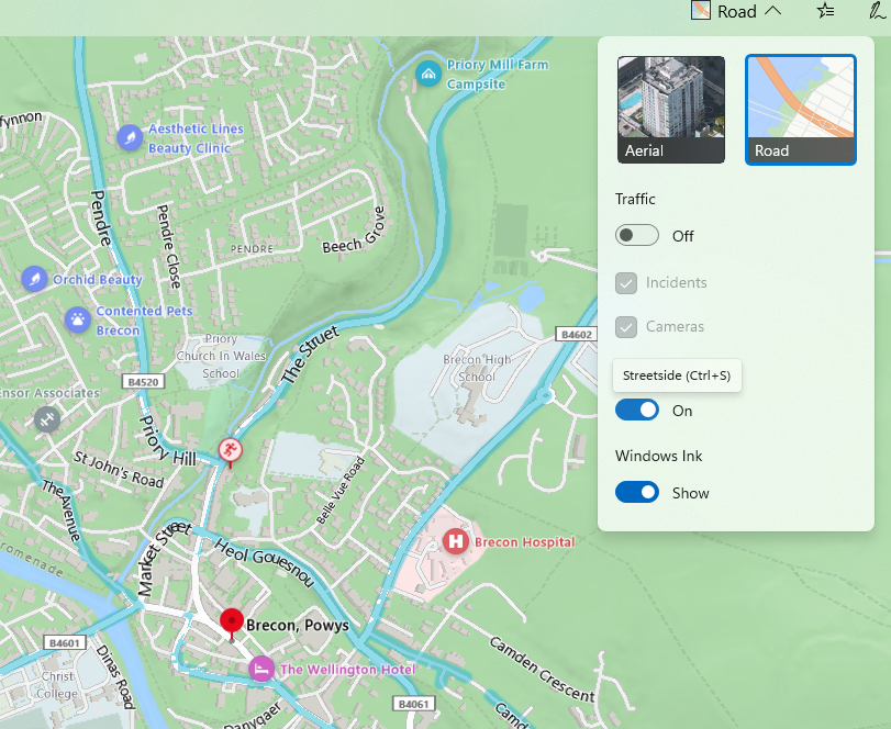
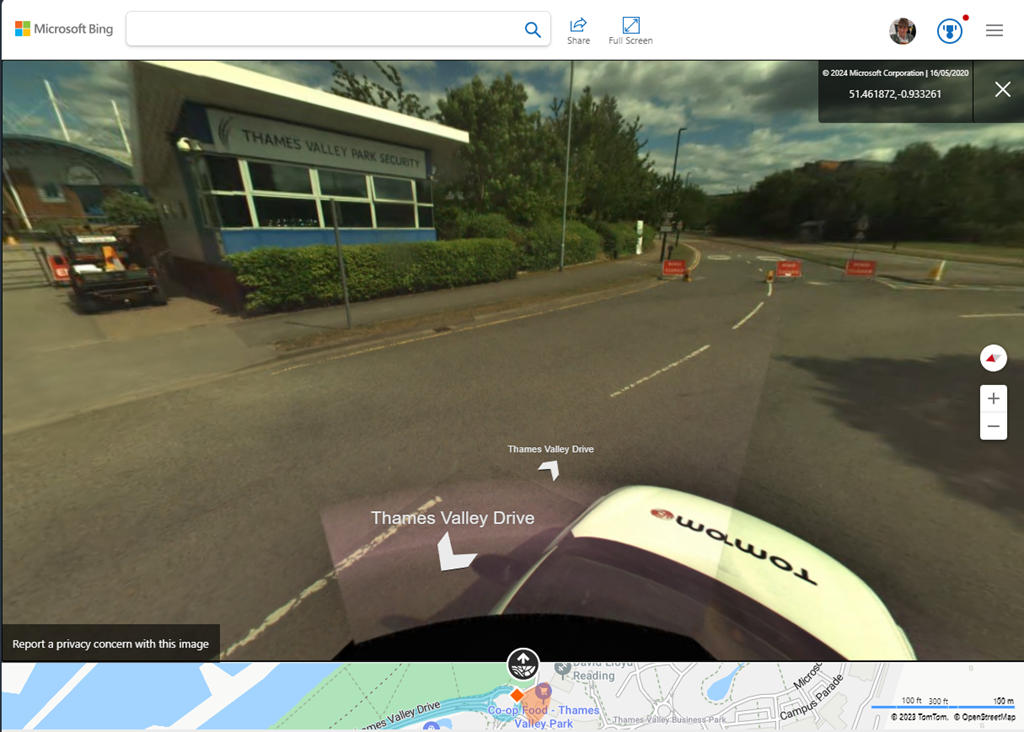
It is worth noting, though, that the “not nearly as good as Google Street View” service called Streetside has been expanding internationally where it was a bit of a desert when launched first in the US (see earlier “World Series” comment) – in partnership with Tom Tom, Streetside has been adding more coverage though sometimes there’s not much they can do about being unable to go places.
It’s worth checking out Streetside either in the Windows Maps app or just in Bing Maps on a browser; you’ll definitely get a different view from the one you’ll see in Google.